I was unable to reach Neuscharfeneck in 2008, though I got some distance shots of it. However, I finally reached it in 2010, and it was well worth it. I consider this castle to be one of the best ruins to explore, due not only to its layout but also to its isolated location.
Reaching the castle is not difficult, but it is time consuming. You can park your car on the road below in a small parking area on the north edge of Dernbach, or you can drive up a narrow road to another parking lot that cuts a little bit off the hike.
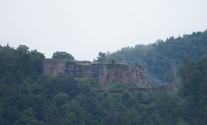
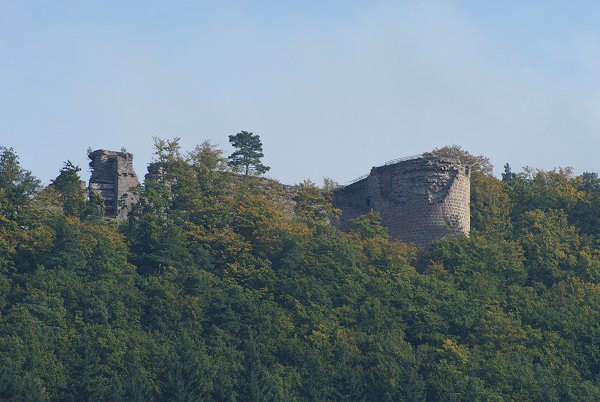
Left, Neuscharfeneck as seen from Ramburg in 2008. Below left, a view of the castle from the neighboring slopes.
Neuscharfeneck was begun around 1212 by the lords of Alt-Scharfeneck, but was a humble site until expanded in the mid-1400s by the Elector Palatinate. Prior to this, the lords of Scharfeneck had been largely independent, working closely with nearby Trifels castle. At one point in the late 1300s, the financial state of the lords became so dire that they pawned the castle to several other lords, among them being Speyer.
In 1469 the castle underwent a massive reconstuction under Elector Frederick I, the Victorious, that transformed it into a formidable structure. This project added the massive shield wall on the east side, a new primary living quarters, and the forward defenses on the west side. The shield wall was 60 meters long and 20 meters high, and 10 meters thick. Moreover, the shield wall contained inner passages, defensive positions, and vaults. Frederick's son Louis became the lord of the castle and developed the house of Lowenstein-Wertheim.
Despite its enhanced defenses, the castle fell by assault and was burned during the Peasants War in 1525, partly due to the local leaders denying a resupply of gunpowder to the castle just before the attack. Rebuilt in 1530, the defenses were strengthened based on lessons learned from that conflict.
Still under the Lowenstein-Scharfeneck line, the castle succumbed twice to assault during the Thirty Years War, both by the Swedes in 1630 and 1633. During the latter, the Swedes skillfully mined the structure and blew it "sky high." The castle remained a ruin, and in 1971 passed to the Scharfeneck Preservation Association who invested considerable funds into restoration work.
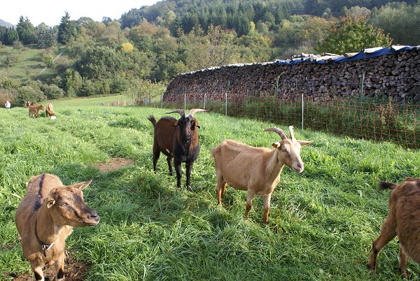
Above, if you park in the lot just north of Dernbach, you will pass these very friendly and cuious goats!
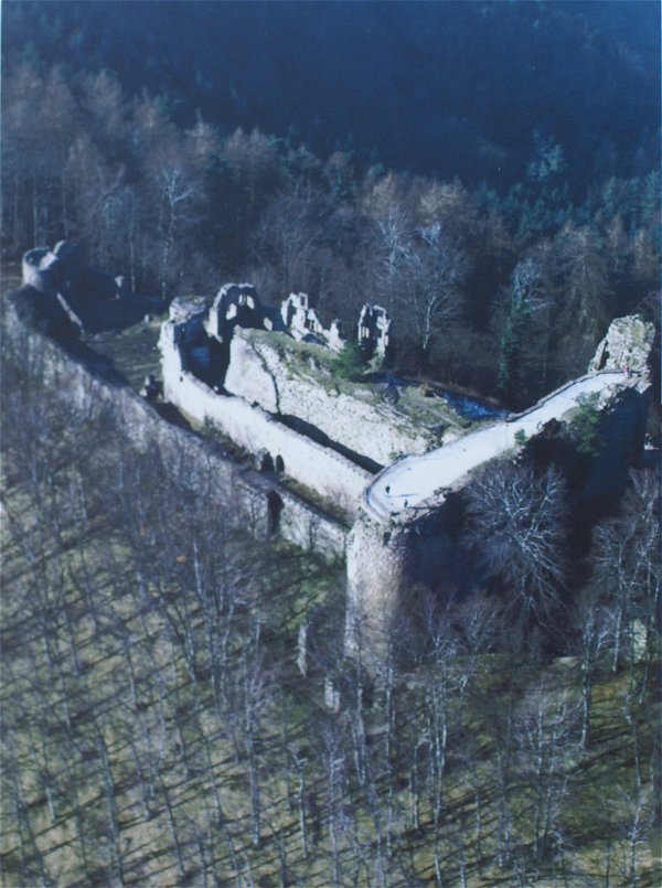
Right, on the historical placard at the site, this aerial photo provides an excellent overview of the castle. The center part of the castle, perched on a rock escarpment, was the original structure. The massive shield wall to the right clearly dominates the site.
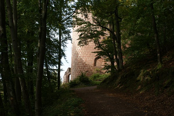
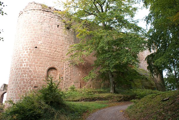
Right, the initial view one receives as they work their way up the trail to the base of the shield wall.
Above, a view of the dry moat, or Graben, separating the shield wall from an escarpment to the right. Regarding this escarpment, there is evidence, though no longer much extant, that there was some type of forward work or bastion that protected a secondary entrance that used a bridge to cross the moat and arrive on the top of the shield wall. Some ground plan data appears to support this theory, and the structure of the shield wall itself provides some testimony to this.
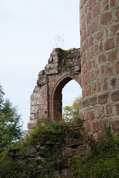
Right, a view of a portion of outer work that provided protection to the south side of the castle.