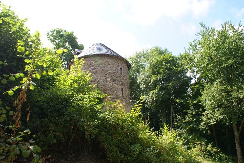
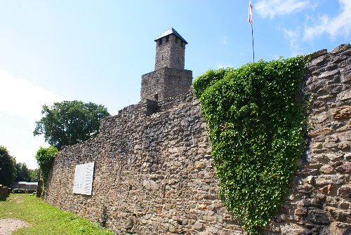
Grimburg was a castle that belonged to the Elector of Trier and is situated on a hill near the town of Grimburg. It is actually a little hard to see as you drive through the area so close attention to a map is a must.
The castle was built in 1190, with additional outer fortifications added during the control of the Elector Balduin, the Count of Luxembourg who was the Elector of Trier in the later 1200s. At one point up to 40 villages were administered by the local governmental offices in the castle. In 1522, the castle was conquered by Franz von Sickingen, and at the beginning of the 1600s a series of witch trials were held here. During the Thirty Years War the castle was occupied consecutively by both Catholic and Protestant forces, with the region suffering losses through both disease and displacement of 2/3 of the population. The castle was later ravaged by the French in 1683, and after this remained largely a ruin.
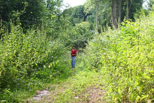
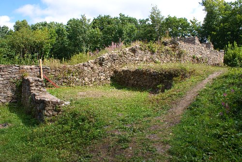
There are two ways to get to the castle. One is where you park your car along the side of the road and take a back trail up. This is the route we took and it's not very well marked... nor maintained (as can be seen in the photo on the right)! The other route requires you go around down a back road to a quaint restaurant and park there. Then you can walk up a road that leads to the castle. I prefer the former simply for more adventure!
These photos were taken in 2008.
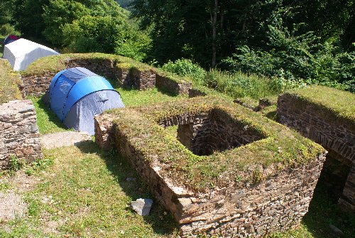
Right, the road that leads into the castle. We were a bit surprised to find a whole group of people actually camping at the site! Apparently some youth group or family reunion- it was hard to tell which.
Left, a turret that guards the way to the main gate. We actually went to open the door to look inside and saw a bunch of cots and sleeping bags within, but no people. As we backed away I caught a glimpse out of the corner of my eye of a bunch of people watching us and about to run our direction to protect their stuff!
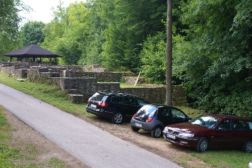
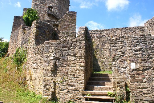
Left, the remains of one of the outer walls and the foundations to some buildings that would have been part of the outer ward.
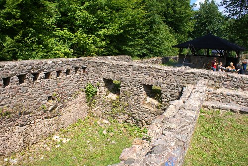
Right, some of the remaining walls, since smoothed out on the top, of structures that were part of the outer ward.
Note the tents in one photo... our locals camping out! They are actually in the middle of the remains of the chapel.
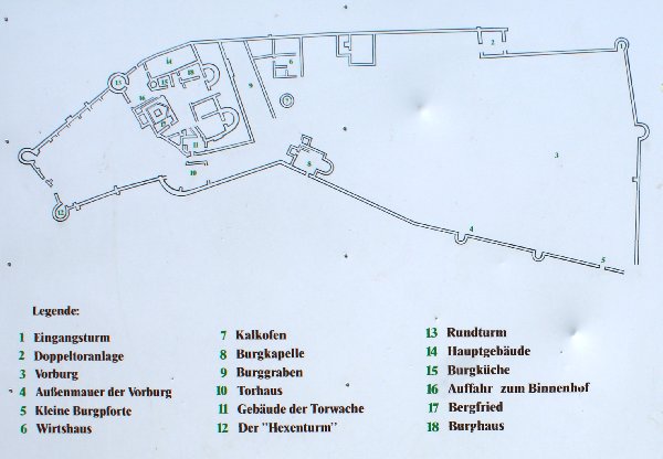
The diagram provides some good detail as to the nature of the castle. The outer ward is the area to the right (#3 Vorburg... fore castle) The inner ward is beyond the moat (#9 Burggraben... castle trench).
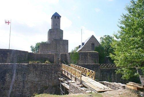
One of the ways to get into the keep complex. Rather than a simple structure, the keep was a series of sturctures interlaced to enhance protection.